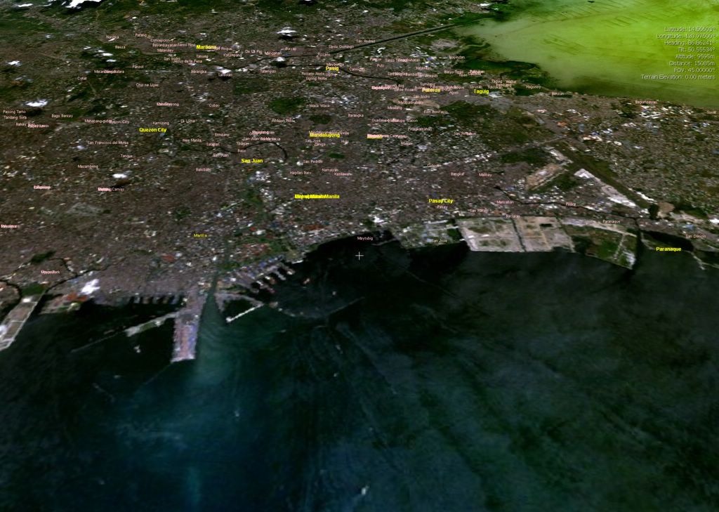
For those of you who like looking out their plane windows after takeoff, click on the thumbnail image below to check out a virtual aerial shot my city, taken with World Wind. Locals will recognize the major place names.
For those of you in a vacationing mood, click on the thumbnail image below for a virtual aerial shot of the Philippines' most popular white-sand tropical paradise, Boracay.

1 comment:
The Best Tropical Beach In The World. :)
beat that.
the closest thing like heaven. :)
-chelle
Post a Comment